Brett Connell | Co-founder of Trutta Environmental Solutions
Date: 11th June, 2026
Level: Intermediate
Duration: 1 hour
Type of Course: Webinar – On Demand
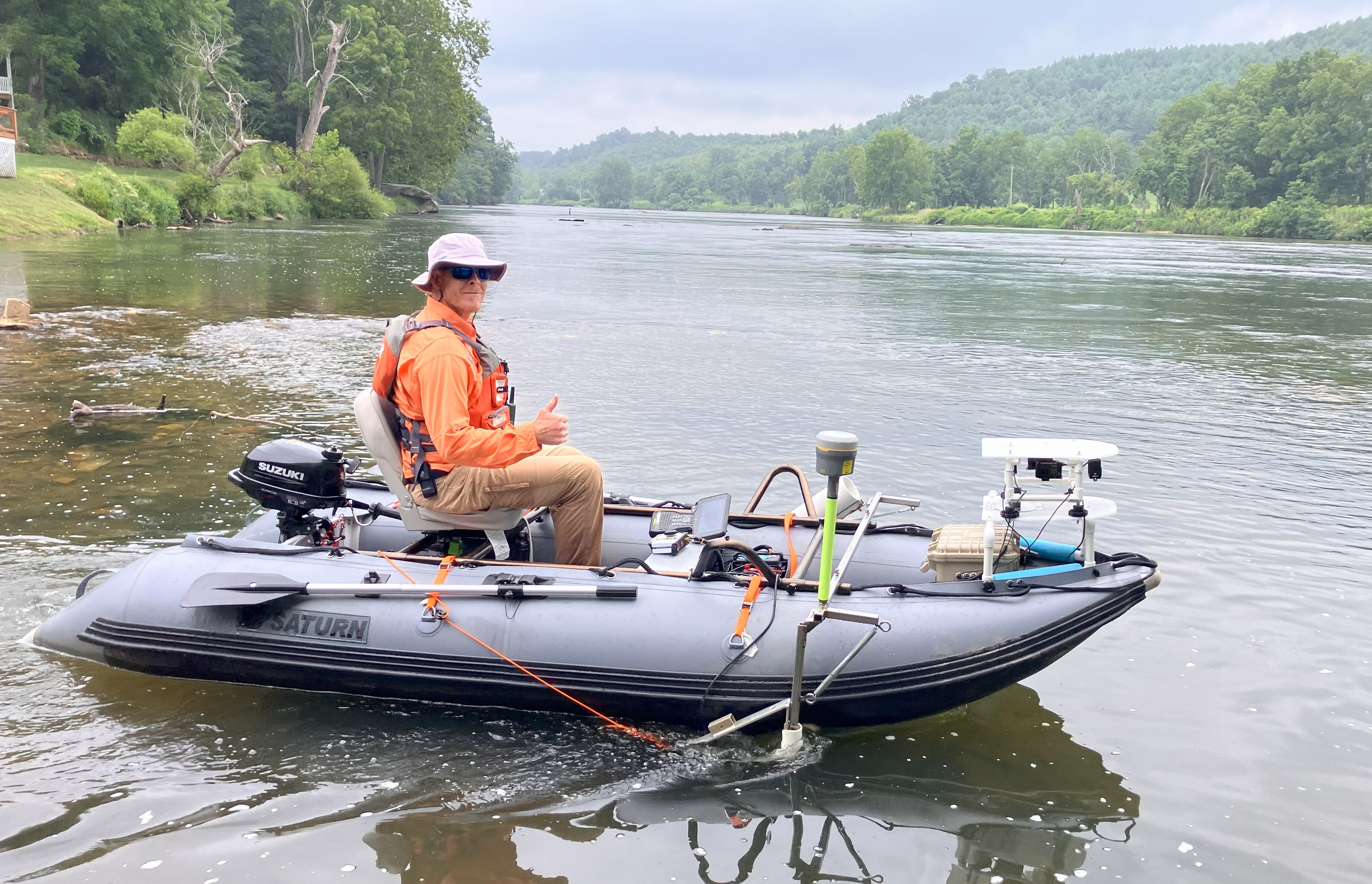
This webinar will introduce the High Definition Stream Survey (HDSS) as a practical watershed scale tool for erosion control, restoration planning, and post storm assessment. Using the recent 160 mile survey of the New River following Hurricane Helene as the primary example, the session will show how continuous, meter resolution data provides a clear picture of debris fields, infrastructure impacts, floodplain connectivity, and geomorphic conditions. Participants will learn how HDSS consolidates what would typically require multiple studies into a single coordinated survey. The presentation will also highlight lessons from more than 2,000 miles of HDSS work across the United States and how these methods support defensible, cost effective decision making. Attendees will leave with a better understanding of how HDSS can improve watershed planning, reduce redundant field efforts, and guide restoration investments that deliver long lasting results.
The purpose of this presentation is to show how the High Definition Stream Survey (HDSS) can serve as an effective watershed scale assessment tool for erosion control professionals and natural resource managers. Post storm evaluations often rely on limited site data and inconsistent methods that make it difficult to prioritize actions across an entire river system. The New River project, completed after Hurricane Helene, demonstrates how continuous, meter resolution data can fill this gap by documenting debris, infrastructure impacts, floodplain connectivity, and geomorphic conditions in a single coordinated effort. This presentation highlights the industry’s need for more efficient and defensible approaches to watershed assessment, especially as severe storms place increasing pressure on agencies to deliver rapid, transparent decisions. Many organizations are seeking ways to reduce redundant field efforts, improve cross agency coordination, and support long term restoration planning. By sharing lessons from more than 2,000 surveyed stream miles and using the New River example, this session will show how HDSS can strengthen erosion control strategies, improve watershed planning, and support cost effective recovery across multiple water resource objectives.